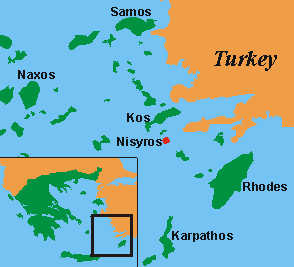
Nisyros is a quiet little greek island
in the Aegeian Sea. It is about 20 km south of Kos and only to reach by
boat. The next airports are on Kos and Rhodos. Because of that, it isn't
as developed for tourism as the bigger islands are. Those who look for
relaxation with distance to the tourism centres will benefit of it.
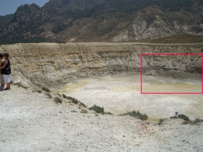
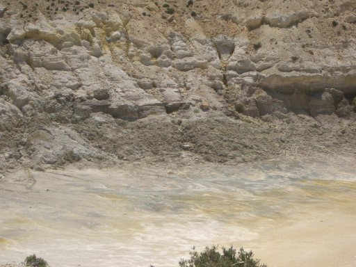
In the centre of the Island of Nisyros
there is, beside some more little, a big volcanic crater of about 300 m
diameter. The volcano under the island is still active which is shown by
fumaroles and holes with boiling mud in the craters region, hot springs
and frequently local earth quakes. The lava-soil makes Nisyros very fertile.
Therefore in former centuries the whole island was developed for agriculture
and made accessible with a network of paved paths, which partly is preserved
to the present time. These old paths, usually paved donkey-paths, can be
used for walking today. Off the roads and villages the wanderer will enjoy
a wonderful nature, peace and quiet, the smell of the sweet herbs and a
fascinating landscape. People who are interested in archaeology can look
for the ancient buildings precision at the much more than 2000 years old
Paleo-Castro.
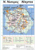
The walking map is a graphic in the GIF-data format, about 500 kB size. If you click to the link, perhaps it takes some time for loading the map. .
Link to the walking
map greek-english (about
500 kB) ![]() English
English
Link to the walking
map greek-german (about 500 kB) ![]() Deutsch
Deutsch
additional informations about the walking map
 Danger!
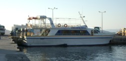 How to travel to Nisyros
http://www.geowarn.ethz.ch/ GEOWARN - Project to enable warning before the next eruption of the volcano occurs
http://www.space-unit.gr/ Volcano research by space observation
http://volcano.und.edu/vwdocs/volc_images/europe_west_asia/nisyros.html short description of Nisyros geology